Settlement of land records in districts Dir Lower, Dir Upper and Tehsil Kalam, Swat
Project Title (As per ADP):Settlement of land records in districts Dir Lower, Dir Upper and Tehsil Kalam, Swat
ADP No: 190183
Approval Date: 22nd, December, 2020
Approved Cost: 1931.089 M
1st Revision Date: 10th, October, 2025
1st Revised Cost: 2483.762 M
Project Closing date: 30th, June, 2027
| District | Area (Sq. km) | Population | No. of HH | No. of Mouzas |
| Dir Lower | 1,597 | 1,650,183 | 202,836 | 216 |
| Dir Upper | 3,752 | 1,083,566 | 149,536 | 121 |
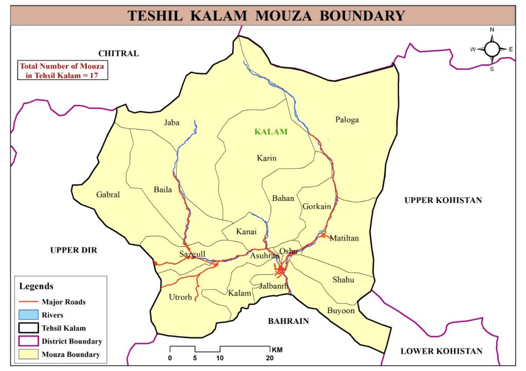
| Kalam | 2,103 | 84,484 | 9,810 | 17 |
| Total | 7,452 | 2,818,233 | 362,182 | 354 |
Total Project Cost : 2483.762 Million PKR
| Details | Demand | Allocation | Release | Expenditure |
| ADP Allocation for 2021-22 | 253.5 | 120.051 | 120.051 | 119.868 |
| ADP Allocation for 2022-23 | 239.5 | 193.263 | 193.263 | 192.699 |
| ADP Allocation for 2023-24 | 289.716 | 195.454 | 195.454 | 195.408 |
| ADP Allocation for 2024-25 | 645 | 251.920 | 251.920 | 251.911 |
| ADP Allocation for 2025-26 | 527 | 230.032 | 217.422 | 217.422 |
| ADP Allocation for 2026-27 | 760.5 | 155 | 0 | 0 |
| TOTAL | 2,715.216 | 1145.72 | 978.11 | 977.308 |
REVENUE PHYSICAL PROGRESS ACHIEVED
| District | No. of Mouza | Public Awareness | Thak Bast (Total Area) | Shajra e Nasab By Revenue Staff | Shajra e Nasab In LRMIS |
| Dir Lower | 216 | 100% | 100% | 344,084 (100%) | 344,084 (100%) |
| Dir Upper | 121 | 100% | 100% | 173,587 (80%) | 155,973 (90%) |
| Kalam | 17 | 100% | 100% | 16,598 (25%) | 11,551 (69.5%) |
| Total | 354 | 100% | 100% | 534,269 (68.3%) | 511,608 (86.5%) |
FIELD PARCEL MEASUREMENT PROGRESS (TEHSIL-WISE)
| Tehsil | Total Active Mouzas | Completed Mouzas | In-Progress Mouzas |
| Adenzai | 47 | 17 (36%) | 6 |
| Balambat | 39 | 5 (13%) | 3 |
| Timergara | 35 | 4 (11%) | 1 |
| Lal Qilla | 36 | 5 (14%) | – |
| Munda | 18 | 1 (6%) | – |
| Samar Bagh | 29 | – | 2 |
| Kalam | 17 | 1 (6%) | 1 |
| Total | 221 | 33 (15%) | 13 |
Project Brief:
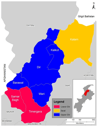
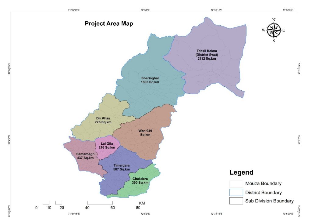
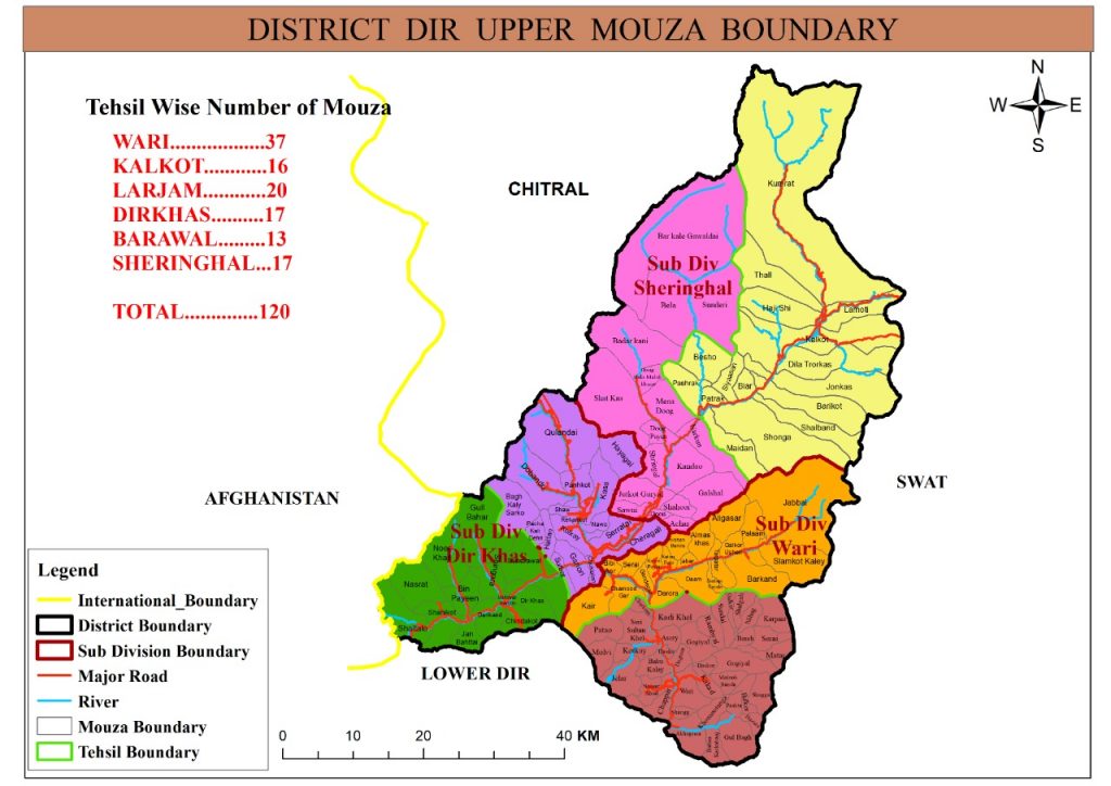
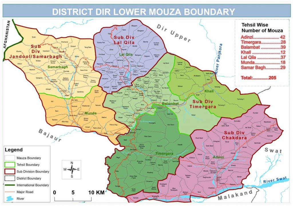
The Project envisions establishment of accurate, transparent and secure land records based on Geographic Information System (GIS) for the Districts of Dir Lower, Dir Upper and Tehsil Kalam (Swat) of Khyber Pakhtunkhwa.The project will be started in all seven subdivisions of Dir Lower and Dir Upper and Tehsil Kalam at the same time. Details of the project area is given below: